
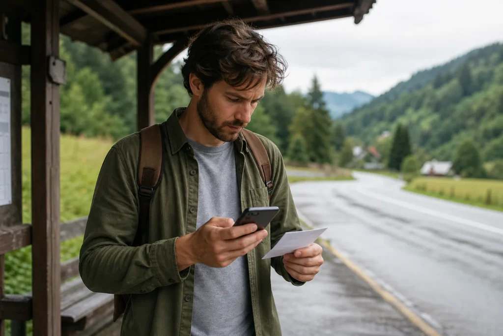
Offline maps work well if you download the right area, save important addresses and texts all before losing the network.
The cover can disappear in subway, mountain, border or simply at the less convenient time. Downloading a city is not enough if the airport or excursion stays out of the area. Before leaving, consider the entire route, including transfers and alternatives, and maintain a second form of orientation for critical steps.
Preparing the really necessary area
Download a wider area of the planned route and check how much space it occupies. Save accommodation, stations, stops, hospitals, car delivery and priority places. Enter useful notes, such as correct entry or name in the local language. A placeholder without context can confuse as an empty map.
A practical method to apply
Activate the air mode and simulate a path: search, zoom and navigation available offline. Make screenshots of the most delicate routes and keep the address in text. Bring an external battery, but do not walk constantly looking at the screen; use reference points and stop at a safe place to control.
- Wide area: include airport, stations and possible deviations, not only the center.
- Saved points: appoint essential places with comprehensible details.
- Offline test: search and route in air mode.
- Visual backup: save screenshots and textual addresses of critical steps.
Errors that complicate everything
Download the maps months before without updating them can leave obsolete data. Also follow a pedestrian path without observing context, signs and security is a mistake. The map is a tool: if reality contradicts the screen, stop and check.
The choice that really works
A good offline preparation makes the phone less invasive. Control the direction, put it away and look at the place. The real goal is not to depend better on technology, but to prevent an absent connection from turning a normal shift into a problem.